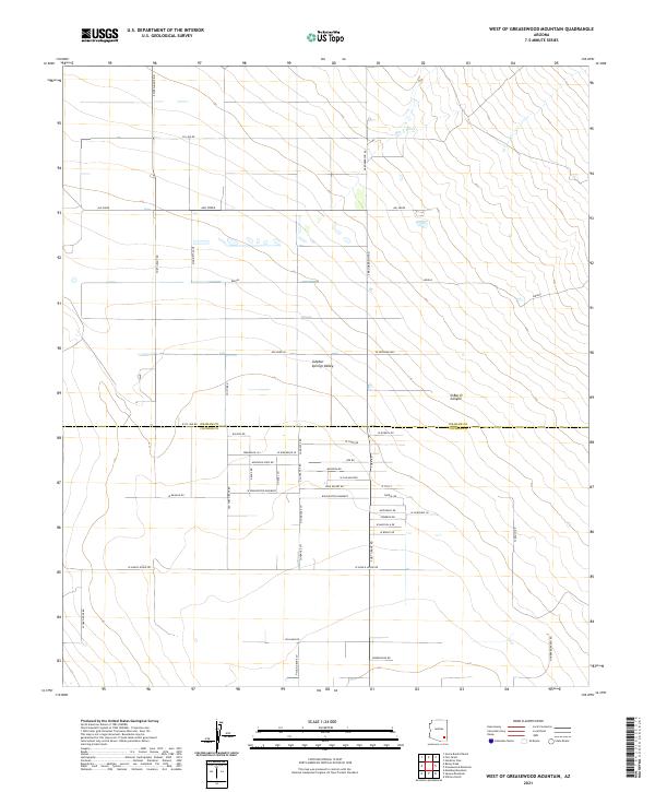
2021 Map of West of Greasewood Mountain
USGS Topo · Published 2021About this map
Sulphur Springs Valley defines this arid landscape, where the northern border of Cochise County meets Graham County. This modern survey illustrates a rural desert grid established around the historic transit corridor of Fort Grant Rd and Old Fort Grant Rd. The geography is shaped by intermittent drainages like Ash Creek and the Bar X Wash, which flow toward the basin floor. Ranching and land management legacies are visible in the naming of W Ranch House Rd and the Winchester Easement, alongside more recent residential plotting near Briggs. To the east, the terrain rises into the foothills near O Bar O Canyon, providing a clear look at how water and topography dictate the placement of local thoroughfares like Marinetta Ave and S Brookerson Rd.
Find a feature on this map
50 named features on this map. Tap any name to fly to it.
Don’t see what you’re looking for? This feature index may not catch every label — zoom into the map to look around manually.
Map Details
Editions of this 2021 West of Greasewood Mountain Map
This is the sole edition of this map. No revisions or reprints were ever made.
Other maps of this area

1922 · Willcox
USGS Topo · 1:125,000

1940 · Sierra Bonita Ranch
USGS Topo · 1:62,500

1942 · Sierra Bonita Ranch
USGS Topo · 1:62,500

1942 · Mt. Graham
USGS Topo · 1:62,500

1943 · Willcox
USGS Topo · 1:62,500

1943 · Sierra Bonita Ranch
USGS Topo · 1:62,500

1943 · Winchester Mts.
USGS Topo · 1:62,500

1945 · Mt. Graham
USGS Topo · 1:62,500

1945 · Winchester Mts.
USGS Topo · 1:62,500

1954 · Silver City
USGS Topo · 1:250,000