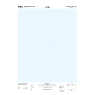
2013 Map of West of Jamesville
USGS Topo · Published 2013About this map
Chesapeake Bay dominates this map, representing the expansive waters off the Eastern Shore of Virginia in the early twenty-first century. As a strictly maritime chart of the waters west of the Jamesville quadrangle, it focuses on the aquatic geography between the mainland and the western shore of the bay. The absence of landmasses or terrestrial landmarks on this specific sheet highlights the navigational and ecological importance of the bay's open waters during this period. It serves as a spatial reference for the maritime environment of Accomack County, documenting the state of the hydrography as recorded by the U.S. Geological Survey in 2013.
Find a feature on this map
1 named feature on this map. Tap any name to fly to it.
Don’t see what you’re looking for? This feature index may not catch every label — zoom into the map to look around manually.
Map Details
Editions of this 2013 West of Jamesville Map
This is the sole edition of this map. No revisions or reprints were ever made.
Other maps of this area

1942 · Nandua Creek
USGS Topo · 1:24,000

1943 · Jamesville
USGS Topo · 1:31,680

1943 · Franktown
USGS Topo · 1:31,680

1943 · Richmond
USGS Topo · 1:250,000

1946 · Eastville
USGS Topo · 1:250,000

1949 · Richmond
USGS Topo · 1:250,000

1959 · Richmond
USGS Topo · 1:250,000

1961 · Eastville
USGS Topo · 1:250,000

1964 · Richmond
USGS Topo · 1:250,000
1965 · Bethel Beach
USGS Topo · 1:24,000