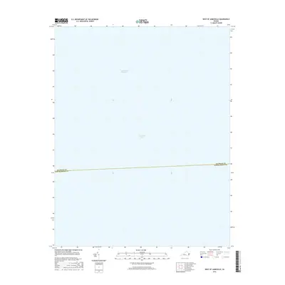
2016 Map of West of Jamesville
USGS Topo · Published 2016About this map
Chesapeake Bay dominates this mid-2010s maritime chart, capturing the open waters just off the Virginia Eastern Shore. The map highlights a critical transit corridor with the inclusion of the Intracoastal Waterway, a navigational lifeline that has supported coastal trade and travel for generations. This specific segment illustrates the administrative boundary of Accomack Co Northampton Co, showing where these two historic coastal counties meet beneath the surface of the bay. It is a specialized study of hydrography and jurisdictional boundaries in an area defined entirely by its relationship with the water and the Atlantic shipping lanes.
Find a feature on this map
3 named features on this map. Tap any name to fly to it.
Don’t see what you’re looking for? This feature index may not catch every label — zoom into the map to look around manually.
Map Details
Editions of this 2016 West of Jamesville Map
This is the sole edition of this map. No revisions or reprints were ever made.
Other maps of this area

1942 · Nandua Creek
USGS Topo · 1:24,000

1943 · Jamesville
USGS Topo · 1:31,680

1943 · Franktown
USGS Topo · 1:31,680

1943 · Richmond
USGS Topo · 1:250,000

1946 · Eastville
USGS Topo · 1:250,000

1949 · Richmond
USGS Topo · 1:250,000

1959 · Richmond
USGS Topo · 1:250,000

1961 · Eastville
USGS Topo · 1:250,000

1964 · Richmond
USGS Topo · 1:250,000
1965 · Bethel Beach
USGS Topo · 1:24,000