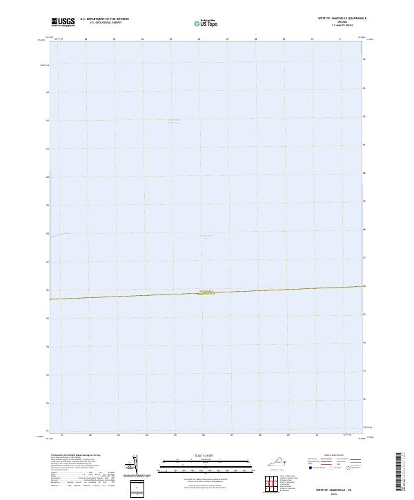
2022 Map of West of Jamesville
USGS Topo · Published 2022About this map
Chesapeake Bay waters dominate this coastal survey, where the primary maritime transit routes of the Eastern Shore are clearly delineated. The map focuses on the open expanse of the bay and the vital Intracoastal Waterway, which serves as a critical artery for coastal shipping and navigation. In the northwestern corner, the Piankatank River reaches its mouth, marking a significant hydrological point where riverine currents meet the larger bay system.
Find a feature on this map
4 named features on this map. Tap any name to fly to it.
Don’t see what you’re looking for? This feature index may not catch every label — zoom into the map to look around manually.
Map Details
Editions of this 2022 West of Jamesville Map
This is the sole edition of this map. No revisions or reprints were ever made.
Other maps of this area

1942 · Nandua Creek
USGS Topo · 1:24,000

1943 · Jamesville
USGS Topo · 1:31,680

1943 · Franktown
USGS Topo · 1:31,680

1943 · Richmond
USGS Topo · 1:250,000

1946 · Eastville
USGS Topo · 1:250,000

1949 · Richmond
USGS Topo · 1:250,000

1959 · Richmond
USGS Topo · 1:250,000

1961 · Eastville
USGS Topo · 1:250,000

1964 · Richmond
USGS Topo · 1:250,000
1965 · Bethel Beach
USGS Topo · 1:24,000