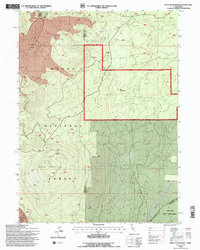
1993 Map of West of Kephart
USGS Topo · Published 1996About this map
Lava flows dominate this high-altitude landscape where the Siskiyou Co Modoc Co border crosses through the southern reaches of the Modoc National Forest. This 1993 field check documents a territory shaped by volcanic activity, featuring the prominent Glass Flow and the Burnt Lava Flow Geologic Area at its southern edge.
Find a feature on this map
16 named features on this map. Tap any name to fly to it.
Don’t see what you’re looking for? This feature index may not catch every label — zoom into the map to look around manually.
Map Details
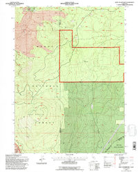
Editions of this 1993 West of Kephart Map
2 editions found
Other maps of this area

1886 · Modoc Lava Bed
USGS Topo · 1:250,000

1892 · Modoc Lava-Bed
USGS Topo · 1:250,000

1932 · Bartle
USGS Topo · 1:96,000

1939 · Bartle
USGS Topo · 1:125,000

1952 · Timber Mountain
USGS Topo · 1:62,500

1952 · Medicine Lake
USGS Topo · 1:62,500

1954 · Alturas
USGS Topo · 1:250,000

1958 · Alturas
USGS Topo · 1:250,000

1961 · Hambone
USGS Topo · 1:62,500

1962 · Alturas
USGS Topo · 1:250,000