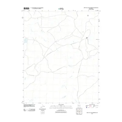
2010 Map of West of La Vida Mission
USGS Topo · Published 2010About this map
Indian Creek meanders through this high desert region in the early twenty-first century, serving as a primary drainage for the area west of the La Vida Mission. The landscape is marked by prominent natural landmarks such as White Rock and Red Hill, which stand as steady reference points in this arid terrain. A sparse but significant network of bureaucratic infrastructure is visible through the various designated roads, including Indian Service Route 7080 and Indian Service Route 108. These routes, established by the Fort Defiance Agency, reflect the managed transportation systems of the Navajo Nation. This topographical record focuses on the relationship between water courses and the high-elevation geological features that define the San Juan Basin, illustrating how modern service roads provide access to this open landscape.
Find a feature on this map
7 named features on this map. Tap any name to fly to it.
Don’t see what you’re looking for? This feature index may not catch every label — zoom into the map to look around manually.
Map Details
Editions of this 2010 West of La Vida Mission Map
This is the sole edition of this map. No revisions or reprints were ever made.
Other maps of this area

1886 · Wingate
USGS Topo · 1:250,000

1889 · Chaco
USGS Topo · 1:250,000

1892 · Wingate
USGS Topo · 1:250,000

1892 · Chaco
USGS Topo · 1:250,000

1954 · Shiprock
USGS Topo · 1:250,000

1954 · Gallup
USGS Topo · 1:250,000

1958 · Gallup
USGS Topo · 1:250,000

1958 · Shiprock
USGS Topo · 1:250,000

1959 · Shiprock
USGS Topo · 1:250,000

1959 · Gallup
USGS Topo · 1:250,000
Featured Places
- Fort Defiance Agency
- Eastern Navajo Agency, NM
- White Rock, Eastern Navajo Agency
- San Juan County, NM
- McKinley County, NM