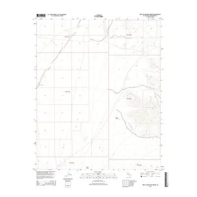
2015 Map of West of Mohawk Spring
USGS Topo · Published 2015About this map
Ward Valley and the expansive Mojave Desert terrain define this 2015 survey of San Bernardino County. The landscape is characterized by a network of drainage channels, most notably Sunflower Wash, Homer Wash, and Painted Rock Wash, which illustrate the natural water flow patterns across this arid basin. This topographic record emphasizes the importance of ephemeral watercourses in desert geomorphology, showing how they shape the alluvial plains of the valley between the surrounding mountain ranges. The map also delineates the precise boundaries of the Public Land Survey System, including townships such as t5n r19e and t4n r20e, providing essential data for land management and ownership within this federally overseen territory.
Find a feature on this map
11 named features on this map. Tap any name to fly to it.
Don’t see what you’re looking for? This feature index may not catch every label — zoom into the map to look around manually.
Map Details
Editions of this 2015 West of Mohawk Spring Map
This is the sole edition of this map. No revisions or reprints were ever made.
Other maps of this area

1942 · Amboy
USGS Topo · 1:250,000

1943 · Center Hills
USGS Topo · 1:62,500

1943 · Amboy
USGS Topo · 1:250,000

1943 · Essex
USGS Topo · 1:62,500

1943 · Turtle Mts.
USGS Topo · 1:62,500

1954 · Needles
USGS Topo · 1:250,000

1954 · Turtle Mountains
USGS Topo · 1:62,500

1956 · Needles
USGS Topo · 1:250,000

1956 · Milligan
USGS Topo · 1:62,500

1956 · Essex
USGS Topo · 1:62,500