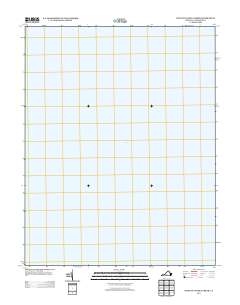
2013 Map of West of Nandua Creek
USGS Topo · Published 2013About this map
Chesapeake Bay dominates this map, representing the expansive waters of the Eastern Shore of Virginia in 2013. This specific quadrangle, located west of Nandua Creek in Accomack County, is a rare hydrographic-focused survey where no land features or terrestrial landmarks are captured within the grid. The map serves as a precise digital snapshot of the coastal waters during the early 21st century, focusing entirely on the open bay area that has historically defined the maritime economy and travel patterns of the region. Without terrestrial roads or buildings, the sheet highlights the maritime character of the mid-Atlantic coast, documenting a specific coordinate of the bay before any shifts in shoreline or water depth nomenclature occur in later editions.
Find a feature on this map
1 named feature on this map. Tap any name to fly to it.
Don’t see what you’re looking for? This feature index may not catch every label — zoom into the map to look around manually.
Map Details
Editions of this 2013 West of Nandua Creek Map
This is the sole edition of this map. No revisions or reprints were ever made.
Other maps of this area

1903 · Crisfield
USGS Topo · 1:62,500

1917 · Ewell
USGS Topo · 1:62,500

1920 · Crisfield
USGS Topo · 1:62,500

1942 · Nandua Creek
USGS Topo · 1:24,000

1942 · Tangier Island
USGS Topo · 1:24,000

1943 · Jamesville
USGS Topo · 1:31,680
1943 · Tangier Island
USGS Topo · 1:31,680

1943 · Richmond
USGS Topo · 1:250,000

1946 · Eastville
USGS Topo · 1:250,000

1949 · Richmond
USGS Topo · 1:250,000