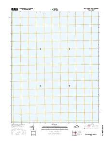
2016 Map of West of Nandua Creek
USGS Topo · Published 2016About this map
The Chesapeake Bay dominates this maritime survey, illustrating a vast stretch of open water west of the Delmarva Peninsula coastline. The absence of terrestrial features or land-based structures emphasizes the significance of the Intracoastal Waterway as a critical navigational artery for commercial and recreational vessels navigating the Virginia coast. Compiled from a series of datasets including the National Hydrography Dataset and FWS National Wetlands Inventory, the map focuses on the hydrographic character of these waters. It serves as a clear reference for the deep-water channels and nautical corridors that have long supported the regional economy of Accomack County, capturing the state of these vital passages in the mid-2010s.
Find a feature on this map
2 named features on this map. Tap any name to fly to it.
Don’t see what you’re looking for? This feature index may not catch every label — zoom into the map to look around manually.
Map Details
Editions of this 2016 West of Nandua Creek Map
This is the sole edition of this map. No revisions or reprints were ever made.
Other maps of this area

1903 · Crisfield
USGS Topo · 1:62,500

1917 · Ewell
USGS Topo · 1:62,500

1920 · Crisfield
USGS Topo · 1:62,500

1942 · Nandua Creek
USGS Topo · 1:24,000

1942 · Tangier Island
USGS Topo · 1:24,000

1943 · Jamesville
USGS Topo · 1:31,680
1943 · Tangier Island
USGS Topo · 1:31,680

1943 · Richmond
USGS Topo · 1:250,000

1946 · Eastville
USGS Topo · 1:250,000

1949 · Richmond
USGS Topo · 1:250,000