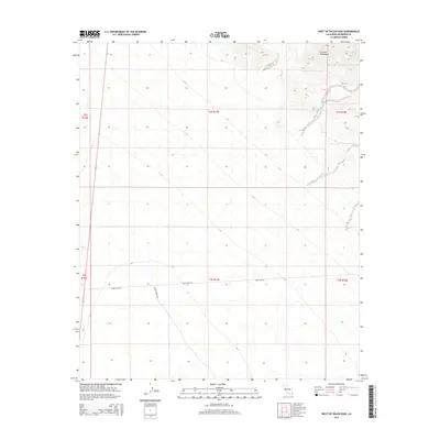
2015 Map of West of Palen Pass
USGS Topo · Published 2015About this map
Granite Mountains loom over the northeastern corner of this desert landscape, where the elevation rises sharply from the basin floor. The arid terrain is largely defined by the expansive alluvial fans and desert flats that characterize this portion of Riverside County. Human presence is marked by primitive desert tracks, specifically Palen Pass Rd and Palen Dunes Dr, which provide the only navigational corridors through the otherwise open terrain. These routes highlight the isolation of the area, serving as vital links between the mountain passes and the lower valley floor in a region largely untouched by dense settlement or industrial development.
Find a feature on this map
9 named features on this map. Tap any name to fly to it.
Don’t see what you’re looking for? This feature index may not catch every label — zoom into the map to look around manually.
Map Details
Editions of this 2015 West of Palen Pass Map
This is the sole edition of this map. No revisions or reprints were ever made.
Other maps of this area

1942 · Amboy
USGS Topo · 1:250,000

1943 · Amboy
USGS Topo · 1:250,000

1943 · Cadiz Valley
USGS Topo · 1:62,500

1943 · Iron Mountains
USGS Topo · 1:62,500

1943 · Coxcomb Mountains
USGS Topo · 1:62,500

1944 · Coxcomb Mountains
USGS Topo · 1:62,500

1952 · Palen Mountains
USGS Topo · 1:62,500

1954 · Salton Sea
USGS Topo · 1:250,000

1954 · Needles
USGS Topo · 1:250,000

1955 · Salton Sea
USGS Topo · 1:250,000