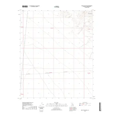
2018 Map of West of Palen Pass
USGS Topo · Published 2018About this map
Granite Mountains rise in the northeastern corner of this Riverside County landscape, providing a sharp topographical contrast to the expansive desert floor that dominates the rest of the sheet. The area is defined by its vast alluvial slopes and a grid of township and range lines, including t2s r17e and t3s r17e. Human presence is sparse, marked primarily by the lonely transit of Coxcomb Monument Rd, which cuts horizontally across the lower sections of the map. This 2018 survey captures the region's character as a largely undeveloped corridor within the California desert, where natural drainage patterns and elevation contours are the primary features of interest for those studying the physical geography or land management history of the interior basin.
Find a feature on this map
8 named features on this map. Tap any name to fly to it.
Don’t see what you’re looking for? This feature index may not catch every label — zoom into the map to look around manually.
Map Details
Editions of this 2018 West of Palen Pass Map
This is the sole edition of this map. No revisions or reprints were ever made.
Other maps of this area

1942 · Amboy
USGS Topo · 1:250,000

1943 · Amboy
USGS Topo · 1:250,000

1943 · Cadiz Valley
USGS Topo · 1:62,500

1943 · Iron Mountains
USGS Topo · 1:62,500

1943 · Coxcomb Mountains
USGS Topo · 1:62,500

1944 · Coxcomb Mountains
USGS Topo · 1:62,500

1952 · Palen Mountains
USGS Topo · 1:62,500

1954 · Salton Sea
USGS Topo · 1:250,000

1954 · Needles
USGS Topo · 1:250,000

1955 · Salton Sea
USGS Topo · 1:250,000