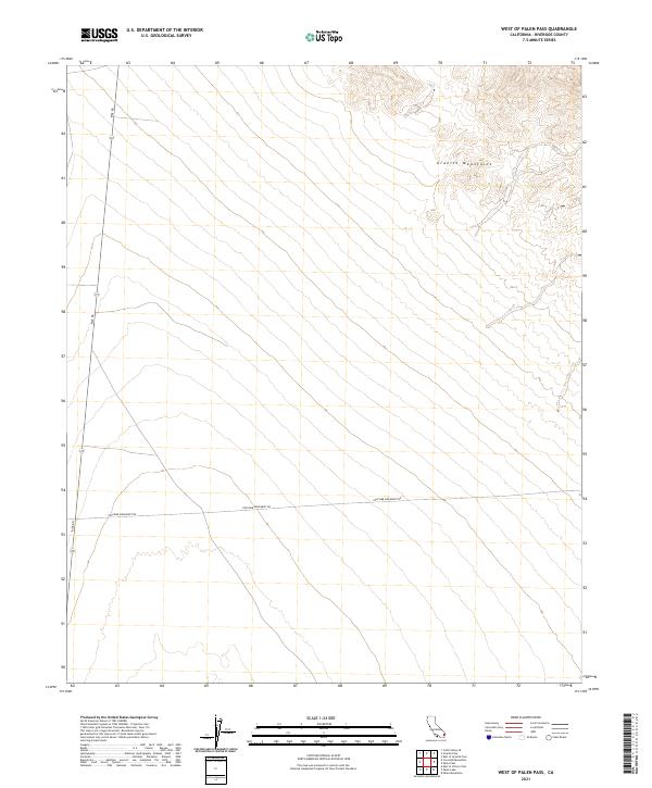
2021 Map of West of Palen Pass
USGS Topo · Published 2021About this map
Granite Mountains rise in the northeast corner of this Colorado Desert landscape, where steep contours define the high ground above a vast alluvial plain. The map reveals a sparse but deliberate transportation network, dominated by the north-south corridor of Rice Rd and the intersecting Coxcomb Monument Rd. These routes represent the primary human imprint on an otherwise desert environment, cutting through the geometric sections of the Public Land Survey System. The arrangement of the landscape emphasizes the scale of the open desert floor, where drainage patterns and subtle elevation changes are the primary landmarks. This survey by the U.S. Geological Survey captures the isolation and structural layout of this Riverside County region, where infrastructure is limited to these critical desert thoroughfares.
Find a feature on this map
9 named features on this map. Tap any name to fly to it.
Don’t see what you’re looking for? This feature index may not catch every label — zoom into the map to look around manually.
Map Details
Editions of this 2021 West of Palen Pass Map
This is the sole edition of this map. No revisions or reprints were ever made.
Other maps of this area

1942 · Amboy
USGS Topo · 1:250,000

1943 · Amboy
USGS Topo · 1:250,000

1943 · Cadiz Valley
USGS Topo · 1:62,500

1943 · Iron Mountains
USGS Topo · 1:62,500

1943 · Coxcomb Mountains
USGS Topo · 1:62,500

1944 · Coxcomb Mountains
USGS Topo · 1:62,500

1952 · Palen Mountains
USGS Topo · 1:62,500

1954 · Salton Sea
USGS Topo · 1:250,000

1954 · Needles
USGS Topo · 1:250,000

1955 · Salton Sea
USGS Topo · 1:250,000