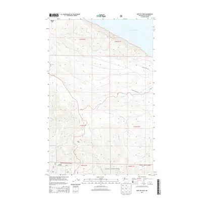
2014 Map of West of Pysht
USGS Topo · Published 2014About this map
Burnt Mtn rises above a landscape defined by the winding course of the Pysht River and its numerous tributaries in this corner of the Olympic Peninsula. The terrain transitions from the saltwater edge of the Strait of Juan de Fuca and Clallam Bay in the north to the protected elevations of Olympic National Park and Olympic National Forest in the south.
Find a feature on this map
22 named features on this map. Tap any name to fly to it.
Don’t see what you’re looking for? This feature index may not catch every label — zoom into the map to look around manually.
Map Details
Editions of this 2014 West of Pysht Map
This is the sole edition of this map. No revisions or reprints were ever made.
Other maps of this area

1922 · Pysht
USGS Topo · 1:62,500

1935 · Clallam
USGS Topo · 1:62,500

1935 · Lake Pleasant
USGS Topo · 1:62,500

1942 · Pysht
USGS Topo · 1:62,500

1942 · Clallam
USGS Topo · 1:62,500

1942 · Lake Pleasant
USGS Topo · 1:62,500

1953 · Cape Flattery
USGS Topo · 1:250,000

1957 · Lake Pleasant
USGS Topo · 1:62,500
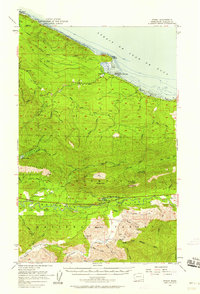
1957 · Pysht
USGS Topo · 1:62,500
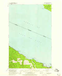
1957 · Clallam Bay
USGS Topo · 1:62,500