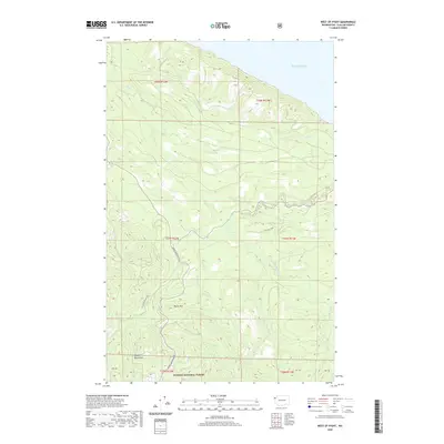
2020 Map of West of Pysht
USGS Topo · Published 2020About this map
Olympic National Forest and the northern foothills of the Olympic Mountains dominate this coastal landscape on the Olympic Peninsula. The terrain is defined by a dense network of watercourses, including the Pysht River and its major tributary, the S Fork Pysht River, which drain north toward the Salish Sea. Historically significant transportation routes, such as the Old Sappho Pysht Hwy and Burnt Mountain Rd, wind through the timberlands, providing access to elevations like Burnt Mtn. The presence of the M R Tree Farm indicates the region's ongoing connection to the timber industry, while numerous named creeks like Salmonberry Cr and Pearson Cr illustrate the complex drainage patterns of this high-rainfall environment. This map captures the intersection of industrial forestry and protected federal wilderness along Washington's northern coast.
Find a feature on this map
25 named features on this map. Tap any name to fly to it.
Don’t see what you’re looking for? This feature index may not catch every label — zoom into the map to look around manually.
Map Details
Editions of this 2020 West of Pysht Map
This is the sole edition of this map. No revisions or reprints were ever made.
Other maps of this area

1922 · Pysht
USGS Topo · 1:62,500

1935 · Clallam
USGS Topo · 1:62,500

1935 · Lake Pleasant
USGS Topo · 1:62,500

1942 · Pysht
USGS Topo · 1:62,500

1942 · Clallam
USGS Topo · 1:62,500

1942 · Lake Pleasant
USGS Topo · 1:62,500

1953 · Cape Flattery
USGS Topo · 1:250,000

1957 · Lake Pleasant
USGS Topo · 1:62,500
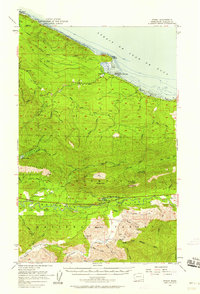
1957 · Pysht
USGS Topo · 1:62,500
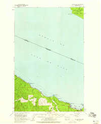
1957 · Clallam Bay
USGS Topo · 1:62,500