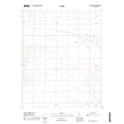
2018 Map of West of Red Pass Lake
USGS Topo · Published 2018About this map
Mojave Desert terrain dominates this 2018 survey, characterized by broad alluvial slopes and desert floor within San Bernardino County. The landscape is primarily defined by its physical geography, with contour lines illustrating the gradual descent toward dry basins and neighboring lake beds. Infrastructure is sparse in this portion of the high desert, limited to a few arterial routes that facilitate travel through the arid environment. Red Pass Lake Rd provides access in the southeastern corner, while E Range Rd clips the northeastern section of the quadrangle. These roads serve as the primary landmarks for navigating the township and range divisions that structure this expansive public land area.
Find a feature on this map
11 named features on this map. Tap any name to fly to it.
Don’t see what you’re looking for? This feature index may not catch every label — zoom into the map to look around manually.
Map Details
Editions of this 2018 West of Red Pass Lake Map
This is the sole edition of this map. No revisions or reprints were ever made.
Other maps of this area

1933 · Avawatz Mountains
USGS Topo · 1:250,000

1947 · Trona
USGS Topo · 1:250,000

1948 · Red Pass Lake
USGS Topo · 1:62,500

1948 · Trona
USGS Topo · 1:250,000

1948 · Alvord Mountain
USGS Topo · 1:62,500

1948 · Cave Mountain
USGS Topo · 1:62,500

1948 · Tiefort Mountains
USGS Topo · 1:62,500

1951 · Tiefort Mountains
USGS Topo · 1:62,500

1951 · Cave Mountain
USGS Topo · 1:62,500

1951 · Alvord Mountain
USGS Topo · 1:62,500