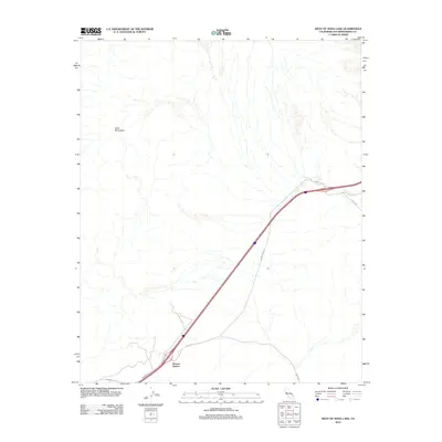
2012 Map of West of Soda Lake
USGS Topo · Published 2012About this map
Soda Mountains terrain dominates this desert landscape, where the alluvial fans and dry washes characteristic of the Mojave Desert create a complex natural drainage pattern. The settlement at Beacon Station serves as a primary point of human activity, situated at a critical juncture of desert transportation. The map captures a moment in the region's modern infrastructure, showing the alignment of major transit routes including Arrowhead Trl, Zzyzx Rd, and Rasor Rd. These roads facilitate travel across the arid expanse, connecting the isolated outpost of Beacon Station with the surrounding wilderness and the dry basin of the nearby Soda Lake region to the east.
Find a feature on this map
5 named features on this map. Tap any name to fly to it.
Don’t see what you’re looking for? This feature index may not catch every label — zoom into the map to look around manually.
Map Details
Editions of this 2012 West of Soda Lake Map
This is the sole edition of this map. No revisions or reprints were ever made.
Other maps of this area

1933 · Avawatz Mountains
USGS Topo · 1:250,000

1947 · Trona
USGS Topo · 1:250,000

1948 · Red Pass Lake
USGS Topo · 1:62,500

1948 · Trona
USGS Topo · 1:250,000

1948 · Cave Mountain
USGS Topo · 1:62,500

1951 · Cave Mountain
USGS Topo · 1:62,500

1951 · Red Pass Lake
USGS Topo · 1:62,500

1953 · Trona
USGS Topo · 1:250,000
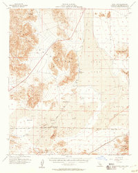
1956 · Soda Lake
USGS Topo · 1:62,500

1956 · Baker
USGS Topo · 1:62,500