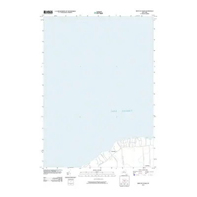
2010 Map of West of Texas
USGS Topo · Published 2010About this map
Lake Ontario dominates this portion of the New York shoreline, where the coastal plain meets the Great Lakes. The small settlement of Lakeview is situated near the water's edge, connected by a network of local roads including Lake View Rd and Upcraft Rd. Further inland, the community of Lycoming serves as a local crossroads near the intersection of Co Rte 29 and Parkhurst Rd. The map illustrates a predominantly rural and residential landscape typical of Oswego County in the early 21st century. Along the coast, Sunset Bay provides a natural feature that breaks the shoreline, while Co Rte 1 provides the primary east-west corridor for the region. The spatial arrangement of these small settlements and their accompanying road networks reflects the long-standing agricultural and residential character of the land bordering the lake.
Find a feature on this map
9 named features on this map. Tap any name to fly to it.
Don’t see what you’re looking for? This feature index may not catch every label — zoom into the map to look around manually.
Map Details
Editions of this 2010 West of Texas Map
This is the sole edition of this map. No revisions or reprints were ever made.
Other maps of this area

1900 · Oswego
USGS Topo · 1:62,500

1900 · Fulton
USGS Topo · 1:62,500

1943 · Oswego East
USGS Topo · 1:31,680

1943 · New Haven
USGS Topo · 1:31,680

1943 · Oswego West
USGS Topo · 1:31,680

1943 · Texas
USGS Topo · 1:31,680

1943 · West Of Texas
USGS Topo · 1:31,680
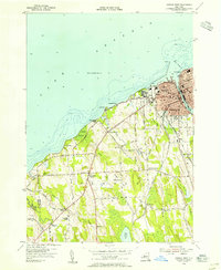
1954 · Oswego West
USGS Topo · 1:24,000
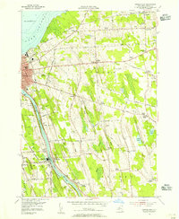
1954 · Oswego East
USGS Topo · 1:24,000
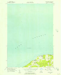
1955 · West Of Texas
USGS Topo · 1:24,000