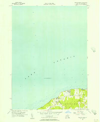
1955 Map of West Of Texas
USGS Topo · Published 1956About this map
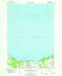
Lake Ontario dominates this mid-century survey, with depth curves and soundings reaching far north from the Oswego County shoreline. Along the coast, the U S Military Reservation at Camp Oswego stands as a prominent fixture of the local landscape during the Cold War era. The inland terrain within the town of Scriba is marked by a network of rural routes, including Lakeview Road and Parkhurst Road, which connect small hubs of local life.
Find a feature on this map
11 named features on this map. Tap any name to fly to it.
Don’t see what you’re looking for? This feature index may not catch every label — zoom into the map to look around manually.
Map Details
Editions of this 1955 West Of Texas Map
3 editions found
Other maps of this area

1900 · Oswego
USGS Topo · 1:62,500

1900 · Fulton
USGS Topo · 1:62,500

1943 · Oswego East
USGS Topo · 1:31,680

1943 · New Haven
USGS Topo · 1:31,680

1943 · Oswego West
USGS Topo · 1:31,680

1943 · Texas
USGS Topo · 1:31,680

1943 · West Of Texas
USGS Topo · 1:31,680
1954 · Oswego West
USGS Topo · 1:24,000
1954 · Oswego East
USGS Topo · 1:24,000
1955 · Texas
USGS Topo · 1:24,000