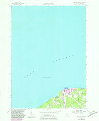
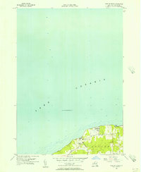
1955 Map of West Of Texas
USGS Topo · Published 1982About this map
Lake Ontario dominates this mid-century topographic record, showing the shoreline of the town of Scriba during a period of significant industrial modernization. The landscape is defined by the massive energy infrastructure at Nine Mile Point, featuring the Niagara Mohawk Nine Mile Point Nuclear Station and the J A Fitzpatrick Nuclear Power Plant. These facilities stand in contrast to the rural and residential character of the surrounding area, where School No 16 and the settlement of Lakeview represent the local community.
Find a feature on this map
14 named features on this map. Tap any name to fly to it.
Don’t see what you’re looking for? This feature index may not catch every label — zoom into the map to look around manually.
Map Details
Editions of this 1955 West Of Texas Map
3 editions found
Other maps of this area

1900 · Oswego
USGS Topo · 1:62,500

1900 · Fulton
USGS Topo · 1:62,500

1943 · Oswego East
USGS Topo · 1:31,680

1943 · New Haven
USGS Topo · 1:31,680

1943 · Oswego West
USGS Topo · 1:31,680

1943 · Texas
USGS Topo · 1:31,680

1943 · West Of Texas
USGS Topo · 1:31,680
1954 · Oswego West
USGS Topo · 1:24,000
1954 · Oswego East
USGS Topo · 1:24,000
1955 · West Of Texas
USGS Topo · 1:24,000