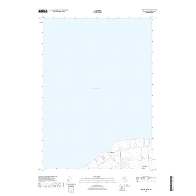
2019 Map of West of Texas
USGS Topo · Published 2019About this map
Lake Ontario dominates this Oswego County shoreline, where the northern edge of the town of Scriba meets the water's edge. The small settlement of Lycoming serves as a southern anchor for the coastal landscape, connected to the waterfront by roads like Co Rte 29 and Nine Mile Point Rd. The terrain here is shaped by seasonal beach access and residential pockets near the lake, including the clusters at Lakeview and the protected waters of Sunset Bay. The infrastructure reflects a coastal community defined by its proximity to the Great Lakes, with local thoroughfares such as Scriba Town Park Rd and Upcraft Beach Rd providing access to the shoreline and recreational areas.
Find a feature on this map
16 named features on this map. Tap any name to fly to it.
Don’t see what you’re looking for? This feature index may not catch every label — zoom into the map to look around manually.
Map Details
Editions of this 2019 West of Texas Map
This is the sole edition of this map. No revisions or reprints were ever made.
Other maps of this area

1900 · Oswego
USGS Topo · 1:62,500

1900 · Fulton
USGS Topo · 1:62,500

1943 · Oswego East
USGS Topo · 1:31,680

1943 · New Haven
USGS Topo · 1:31,680

1943 · Oswego West
USGS Topo · 1:31,680

1943 · Texas
USGS Topo · 1:31,680

1943 · West Of Texas
USGS Topo · 1:31,680
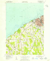
1954 · Oswego West
USGS Topo · 1:24,000
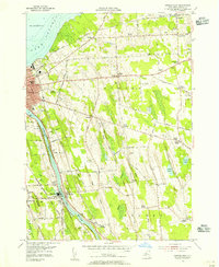
1954 · Oswego East
USGS Topo · 1:24,000
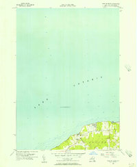
1955 · West Of Texas
USGS Topo · 1:24,000