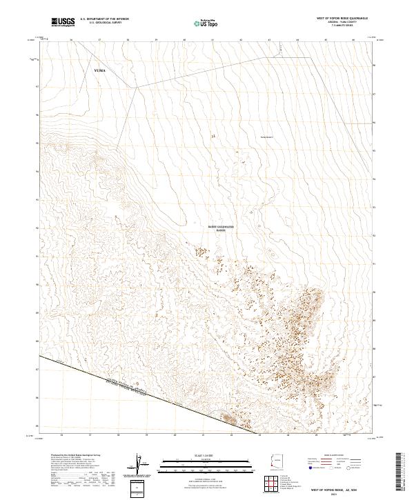
2021 Map of West of Vopoki Ridge
USGS Topo · Published 2021About this map
The Yuma Desert dominates this arid landscape at the southwestern edge of Arizona, characterized by subtle elevation changes and the stark presence of the international boundary. This modern survey tracks the United States Of America Estados Unidos Mexicanos border as it runs diagonally across the southern portion of the sheet. The terrain is marked by a vast, open expanse where little infrastructure exists apart from the essential Border Rd, which follows the political line dividing the two nations. This map provides a detailed view of the surveying townships T11S R21W and T12S R22W, illustrating the geometric grid of the Yuma region as it meets the natural topography of the desert floor. The lack of settlements or major waterways emphasizes the isolation and specialized land management required in this borderland environment during the early 21st century.
Find a feature on this map
8 named features on this map. Tap any name to fly to it.
Don’t see what you’re looking for? This feature index may not catch every label — zoom into the map to look around manually.
Map Details
Editions of this 2021 West of Vopoki Ridge Map
This is the sole edition of this map. No revisions or reprints were ever made.
Other maps of this area

1903 · Yuma
USGS Topo · 1:125,000

1905 · Yuma
USGS Topo · 1:125,000

1926 · Fortuna
USGS Topo · 1:62,500

1929 · Fortuna
USGS Topo · 1:62,500

1940 · Yuma
USGS Topo · 1:62,500

1942 · Yuma
USGS Topo · 1:250,000

1945 · Yuma
USGS Topo · 1:62,500

1954 · El Centro
USGS Topo · 1:250,000

1955 · El Centro
USGS Topo · 1:250,000

1958 · El Centro
USGS Topo · 1:250,000