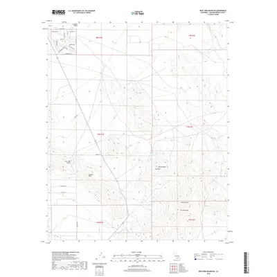
2018 Map of West Ord Mountain
USGS Topo · Published 2018About this map
Stoddard Valley and the northern reaches of the Ord Mountains dominate this high-desert landscape in San Bernardino County. The terrain is defined by prominent peaks such as West Ord Mtn and Goat Mtn, which overlook a network of seasonal water sources including Goat Spring, Taylor Spring, and Quill Spring. These isolated water points provide a glimpse into the natural hydrology required to sustain life and travel in the Mojave Desert environment.
Find a feature on this map
35 named features on this map. Tap any name to fly to it.
Don’t see what you’re looking for? This feature index may not catch every label — zoom into the map to look around manually.
Map Details
Editions of this 2018 West Ord Mountain Map
This is the sole edition of this map. No revisions or reprints were ever made.
Other maps of this area

1932 · Barstow
USGS Topo · 1:125,000

1934 · Barstow
USGS Topo · 1:125,000

1953 · San Bernardino
USGS Topo · 1:250,000

1955 · Ord Mountains
USGS Topo · 1:62,500

1956 · San Bernardino
USGS Topo · 1:250,000

1956 · Daggett
USGS Topo · 1:62,500

1956 · Barstow
USGS Topo · 1:62,500

1957 · Apple Valley
USGS Topo · 1:62,500

1957 · San Bernardino
USGS Topo · 1:250,000

1958 · San Bernardino
USGS Topo · 1:250,000