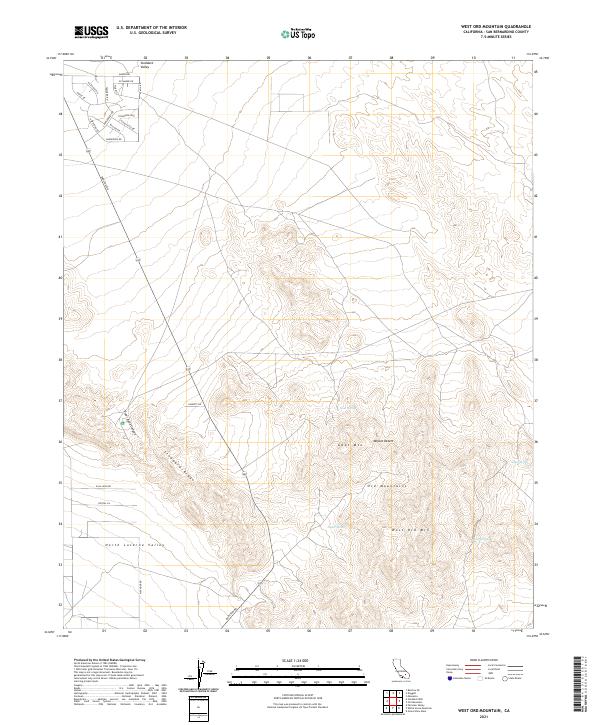
2021 Map of West Ord Mountain
USGS Topo · Published 2021About this map
West Ord Mtn and the surrounding Ord Mountains dominate this high-altitude desert landscape in the Mojave Desert. The topography is defined by the prominent Stoddard Ridge and the broad reaches of Stoddard Valley and North Lucerne Valley. For those tracing local landmarks or hydrology, the map identifies several critical water sources in this arid environment, including Goat Spring, Taylor Spring, Quill Spring, and Joker Spring. The northwestern corner shows a burgeoning network of rural residential roads with tree-themed names like Ponderosa Rd, Dogwood Drive, and Sycamore Dr, contrasting with the more isolated reaches of Traer Agua Canyon. A major artery, Barstow Rd, cuts across the terrain, linking these high-desert settlements to the regional infrastructure.
Find a feature on this map
36 named features on this map. Tap any name to fly to it.
Don’t see what you’re looking for? This feature index may not catch every label — zoom into the map to look around manually.
Map Details
Editions of this 2021 West Ord Mountain Map
This is the sole edition of this map. No revisions or reprints were ever made.
Other maps of this area

1932 · Barstow
USGS Topo · 1:125,000

1934 · Barstow
USGS Topo · 1:125,000

1953 · San Bernardino
USGS Topo · 1:250,000

1955 · Ord Mountains
USGS Topo · 1:62,500

1956 · San Bernardino
USGS Topo · 1:250,000

1956 · Daggett
USGS Topo · 1:62,500

1956 · Barstow
USGS Topo · 1:62,500

1957 · Apple Valley
USGS Topo · 1:62,500

1957 · San Bernardino
USGS Topo · 1:250,000

1958 · San Bernardino
USGS Topo · 1:250,000