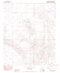
1982 Map of West Ord Mtn
USGS Topo · Published 1982About this map
Industrial utility and mining activity define this high-desert landscape, where the San Bernardino Meridian divides the complex topography of the Ord Mountains. The map documents a cluster of mining operations concentrated around the peaks, including the Gold Belt Mine near Goat Mountain and the New Deal Mine to the north. These sites, along with the Anita Mine and Quill Mine, suggest a history of prospecting that sought minerals within the arid ridges. Water management is critical in this environment, evidenced by scattered points like Quill Spring and Goat Spring, as well as the notable Foster Well (Dry). Modern infrastructure also leaves its mark, with an underground gas pipeline cutting through Stoddard Valley and a Microwave Relay Sta positioned for line-of-sight communication across the Stoddard Ridge.
Find a feature on this map
22 named features on this map. Tap any name to fly to it.
Don’t see what you’re looking for? This feature index may not catch every label — zoom into the map to look around manually.
Map Details
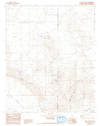
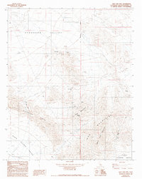
Editions of this 1982 West Ord Mtn Map
3 editions found
Other maps of this area

1932 · Barstow
USGS Topo · 1:125,000

1934 · Barstow
USGS Topo · 1:125,000

1953 · San Bernardino
USGS Topo · 1:250,000

1955 · Ord Mountains
USGS Topo · 1:62,500

1956 · San Bernardino
USGS Topo · 1:250,000

1956 · Daggett
USGS Topo · 1:62,500

1956 · Barstow
USGS Topo · 1:62,500

1957 · Apple Valley
USGS Topo · 1:62,500

1957 · San Bernardino
USGS Topo · 1:250,000

1958 · San Bernardino
USGS Topo · 1:250,000