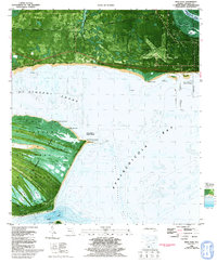
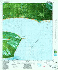
1982 Map of West Pass
USGS Topo · Published 1992About this map
St Vincent Island dominates the southern reaches of this survey, functioning as a massive natural barrier for the St Vincent National Wildlife Refuge. The island's complex hydrology is meticulously detailed, showing a series of interior ponds including Lake No 1 through Lake No 4 and various tidal features like Mallard Slough and Sheepshead Bayou. These wetlands transition into the open waters of St Vincent Sound and Apalachicola Bay, where maritime hazards such as the Saint Vincent Bar are charted alongside the modern Entrance Channel.
Find a feature on this map
44 named features on this map. Tap any name to fly to it.
Don’t see what you’re looking for? This feature index may not catch every label — zoom into the map to look around manually.
Map Details
Editions of this 1982 West Pass Map
2 editions found
Other maps of this area

1943 · West Pass
USGS Topo · 1:31,680

1943 · Apalachicola
USGS Topo · 1:31,680

1943 · Indian Pass
USGS Topo · 1:24,000

1943 · Jackson River
USGS Topo · 1:24,000

1944 · Apalachicola
USGS Topo · 1:24,000

1945 · Cape St. George
USGS Topo · 1:31,680

1945 · Lake Wimico
USGS Topo · 1:31,680

1945 · Beverly
USGS Topo · 1:31,680

1945 · Jackson River
USGS Topo · 1:31,680

1945 · Indian Pass
USGS Topo · 1:31,680