2021 Map of West Point
USGS Topo · Published 2021About this map
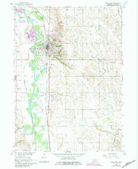
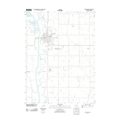
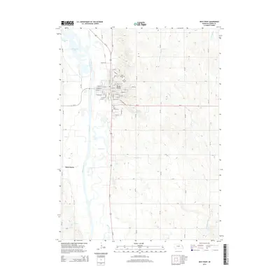
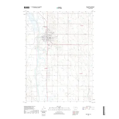
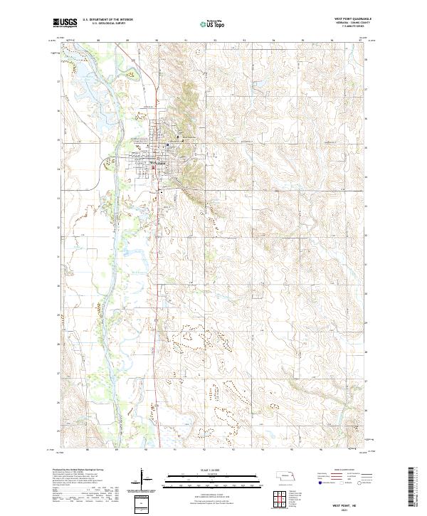
West Point serves as the focal point of this Eastern Nebraska landscape, situated along the winding course of the Elkhorn River. The town's grid is dense with civic and educational markers, including the Cuming County Courthouse and the Northeast Community College West Point Extended Campus, reflecting its role as a regional center. Surrounding the municipality are several significant burial grounds, such as Saint Michael Cem, Saint Josephs Cem, and Mount Hope Cem, providing essential data points for family historians. The transition from the urban center to the agricultural periphery is marked by a network of waterways and drainage, including Plum Creek, Wortmans Cr, and Fisher Cr, alongside recreation-focused features like the Upper Elkhorn River Trl. Notable oxbow lakes such as Horseshoe Lake and McKirahan Lake punctuate the river valley, illustrating the geomorphology of the plains.
Find a feature on this map
24 named features on this map. Tap any name to fly to it.
Don’t see what you’re looking for? This feature index may not catch every label — zoom into the map to look around manually.
Map Details
Editions of this 2021 West Point Map
This is the sole edition of this map. No revisions or reprints were ever made.
Historical Maps of West Point Through Time
5 maps found