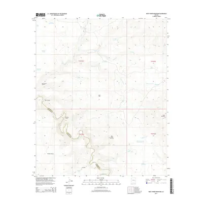
2014 Map of West Poker Mountain
USGS Topo · Published 2014About this map
The Black River winds along the rugged southern boundary of this high-elevation landscape, defining the border between Apache and Graham counties. This remote territory is dominated by the prominent peaks of West Poker Mountain and Poker Mountain, separated by the natural passage of Poker Gap. The terrain is deeply incised by drainages such as Mormon Canyon and Mule Corral Canyon, which feed into the primary river system.
Find a feature on this map
36 named features on this map. Tap any name to fly to it.
Don’t see what you’re looking for? This feature index may not catch every label — zoom into the map to look around manually.
Map Details
Editions of this 2014 West Poker Mountain Map
This is the sole edition of this map. No revisions or reprints were ever made.
Other maps of this area

1954 · Clifton
USGS Topo · 1:250,000

1957 · Clifton
USGS Topo · 1:250,000

1958 · Clifton
USGS Topo · 1:250,000

1962 · Clifton
USGS Topo · 1:250,000
1967 · Sawbuck Mtn.
USGS Topo · 1:24,000
1967 · Maverick SW
USGS Topo · 1:24,000
1967 · West Poker Mtn.
USGS Topo · 1:24,000

1967 · Odart Mtn
USGS Topo · 1:24,000
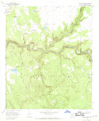
1967 · Elwood Canyon
USGS Topo · 1:24,000
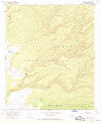
1967 · Corn Creek
USGS Topo · 1:24,000