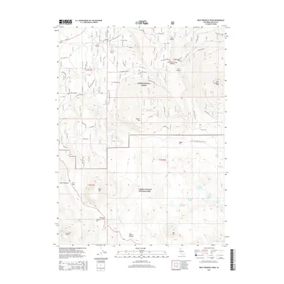
2015 Map of West Prospect Peak
USGS Topo · Published 2015About this map
Lassen Volcanic National Park dominates the southern half of this landscape, where volcanic peaks and high-altitude lakes define the terrain. The transition between the park and the Lassen National Forest to the north is marked by several notable summits, including West Prospect Peak and Raker Peak. The Pacific Crest National Scenic Trail winds through the central corridor, passing near Badger Flat and providing a high-elevation route through this geological complex. Evidence of the region's hydrography is found in the drainage patterns of Hat Creek and its various forks, which collect water from basins like Hat Lake and the Cluster Lakes. Historic travel through this wilderness is suggested by Emigrant Pass and Survivors Hill, while unique landmarks such as Hot Rock and Crescent Crater reflect the active volcanic history of the Shasta County highlands.
Find a feature on this map
35 named features on this map. Tap any name to fly to it.
Don’t see what you’re looking for? This feature index may not catch every label — zoom into the map to look around manually.
Map Details
Editions of this 2015 West Prospect Peak Map
This is the sole edition of this map. No revisions or reprints were ever made.
Other maps of this area

1886 · Lassen Peak
USGS Topo · 1:250,000

1892 · Lassen Peak
USGS Topo · 1:250,000

1894 · Lassen Peak
USGS Topo · 1:250,000

1935 · Burney
USGS Topo · 1:96,000

1935 · Paynes Creek
USGS Topo · 1:96,000

1939 · Burney
USGS Topo · 1:125,000

1939 · Halls Flat
USGS Topo · 1:125,000

1941 · Mineral
USGS Topo · 1:125,000

1955 · Westwood
USGS Topo · 1:250,000

1956 · Lassen Peak
USGS Topo · 1:62,500