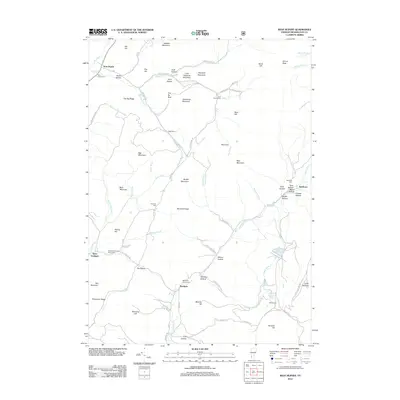
2012 Map of West Rupert
USGS Topo · Published 2012About this map
West Rupert and Sandgate anchor this landscape along the Vermont-New York border, where steep ridges and deep hollows define the settlement patterns of Bennington County. The topography is marked by significant heights like Egg Mountain, Shatterack Mountain, and Masters Mountain, which force roads and homesteads into narrow corridors. The network of winding routes such as Kent Hollow Rd and Rupert Rd follow the natural drainage of White Cr and the Green River.
Find a feature on this map
88 named features on this map. Tap any name to fly to it.
Don’t see what you’re looking for? This feature index may not catch every label — zoom into the map to look around manually.
Map Details
Editions of this 2012 West Rupert Map
This is the sole edition of this map. No revisions or reprints were ever made.
Other maps of this area

1893 · Fort Ann
USGS Topo · 1:62,500

1894 · Pawlet
USGS Topo · 1:62,500

1894 · Equinox
USGS Topo · 1:62,500

1895 · Cambridge
USGS Topo · 1:62,500

1895 · Fort Ann
USGS Topo · 1:62,500

1896 · Equinox
USGS Topo · 1:62,500

1897 · Pawlet
USGS Topo · 1:62,500

1898 · Cambridge
USGS Topo · 1:62,500

1898 · Fort Ann
USGS Topo · 1:62,500

1900 · Equinox
USGS Topo · 1:62,500