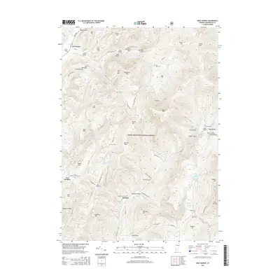
2015 Map of West Rupert
USGS Topo · Published 2015About this map
The Green Mountain National Forest dominates this section of the Taconic Mountains, where steep ridges and deep hollows define the local settlement patterns. In the northwest, West Rupert sits along the banks of Mill Brook, while further south, the village of Sandgate is positioned near the junction of Sandgate Brook and the Green River. The landscape is characterized by a high concentration of family-named landmarks and small burial grounds, such as Scott Cem, Sherman Cem, and the Kent Hollow Cem, which offer significant value for genealogical research. Prominent peaks including Equinox Mtn and Masters Mtn tower over the valleys, while the presence of the Equinox Skyline Dr suggests the historical importance of tourism and access to these high summits. These narrow mountain passes and "hollows," like Youlin Hollow and Moffitt Hollow, reflect a traditional Vermont land-use history where agriculture and small-scale industry were confined by the demanding terrain.
Find a feature on this map
94 named features on this map. Tap any name to fly to it.
Don’t see what you’re looking for? This feature index may not catch every label — zoom into the map to look around manually.
Map Details
Editions of this 2015 West Rupert Map
This is the sole edition of this map. No revisions or reprints were ever made.
Other maps of this area

1893 · Fort Ann
USGS Topo · 1:62,500

1894 · Pawlet
USGS Topo · 1:62,500

1894 · Equinox
USGS Topo · 1:62,500

1895 · Cambridge
USGS Topo · 1:62,500

1895 · Fort Ann
USGS Topo · 1:62,500

1896 · Equinox
USGS Topo · 1:62,500

1897 · Pawlet
USGS Topo · 1:62,500

1898 · Cambridge
USGS Topo · 1:62,500

1898 · Fort Ann
USGS Topo · 1:62,500

1900 · Equinox
USGS Topo · 1:62,500