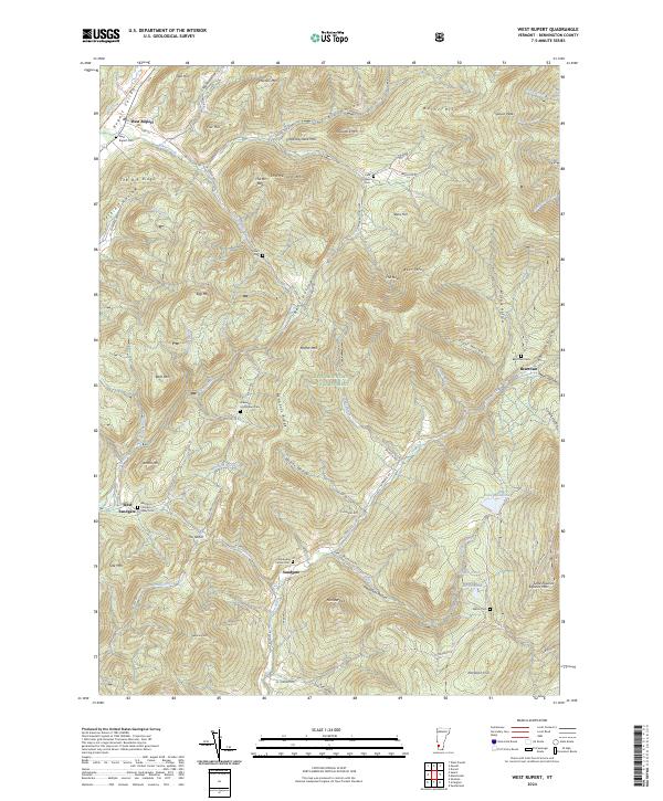
2024 Map of West Rupert
USGS Topo · Published 2024About this map
Green Mountain National Forest dominates much of the landscape in this Bennington County survey, where the steep terrain of the Taconic Mountains is carved by numerous brooks and hollows. The northern corridor of the Rupert Valley features the settlement of West Rupert, where the D&H Rail Trail (South Tr) follows the former path of the Delaware and Hudson Railroad along the banks of White Creek.
Find a feature on this map
88 named features on this map. Tap any name to fly to it.
Don’t see what you’re looking for? This feature index may not catch every label — zoom into the map to look around manually.
Map Details
Editions of this 2024 West Rupert Map
This is the sole edition of this map. No revisions or reprints were ever made.
Other maps of this area

1893 · Fort Ann
USGS Topo · 1:62,500

1894 · Pawlet
USGS Topo · 1:62,500

1894 · Equinox
USGS Topo · 1:62,500

1895 · Cambridge
USGS Topo · 1:62,500

1895 · Fort Ann
USGS Topo · 1:62,500

1896 · Equinox
USGS Topo · 1:62,500

1897 · Pawlet
USGS Topo · 1:62,500

1898 · Cambridge
USGS Topo · 1:62,500

1898 · Fort Ann
USGS Topo · 1:62,500

1900 · Equinox
USGS Topo · 1:62,500