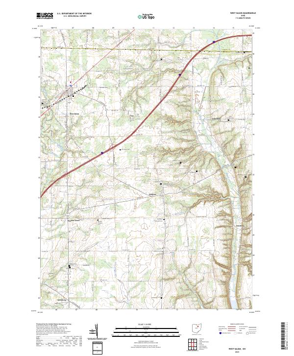
2023 Map of West Salem
USGS Topo · Published 2023About this map
West Salem serves as the primary hub in this corner of Wayne County, where US Rte 42 and local routes like Elyria Rd converge. The landscape is defined by the drainage systems of Killbuck Creek and its many tributaries, including Shade Creek and Little Killbuck Creek, which carve through the terrain near Bald Knob. For genealogists, the map is particularly dense with rural burial sites, ranging from the Old Dutch Reformed Cem and Saint Josephs Cem to the Warners - Congress Cem near Pleasant Home. These cemeteries, along with small crossroads like Congress and Aukerman, reflect a long-established agricultural community. The transition from the rural roads of the south to the northern border near Medina Co illustrates the persistent layout of section-line roads and family-named landmarks such as Repp Cem and Rumbaugh Cem.
Find a feature on this map
95 named features on this map. Tap any name to fly to it.
Don’t see what you’re looking for? This feature index may not catch every label — zoom into the map to look around manually.
Map Details
Editions of this 2023 West Salem Map
This is the sole edition of this map. No revisions or reprints were ever made.
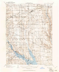
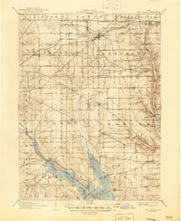
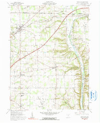
Historical Maps of Armstrong Through Time
4 maps found
Featured Locations
- Chester Township, OH
- Burbank, OH
- Harrisville Township, OH
- Congress, Congress Township
- West Salem, Congress Township