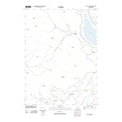
2010 Map of West Shokan
USGS Topo · Published 2010About this map
Ashokan Reservoir dominates the eastern landscape of this Catskill region, where the steep peaks of Friday Mountain and Balsam Cap rise above the deep hollows of the Rondout Creek and Bush Kill watersheds. Small communities such as West Shokan, Samsonville, and Palentown serve as focal points for the winding road network that follows the natural topography, including Watson Hollow Rd and Samsonville Rd. The map provides detailed placement of local landmarks like the Palentown Cemetery and Beaver Lake, while recording the numerous high points including High Point, Hanover Mountain, and Mombaccus Mountain. The landscape is a complex system of kills and brooks, such as Mettacahonts Creek and Maltby Hollow Brook, illustrating how the valley floor and drainage patterns have dictated the location of settlements like Brodhead and Winchell at the reservoir's edge.
Find a feature on this map
67 named features on this map. Tap any name to fly to it.
Don’t see what you’re looking for? This feature index may not catch every label — zoom into the map to look around manually.
Map Details
Editions of this 2010 West Shokan Map
This is the sole edition of this map. No revisions or reprints were ever made.
Other maps of this area

1892 · Kaaterskill
USGS Topo · 1:62,500

1893 · Kaaterskill
USGS Topo · 1:62,500

1894 · Kaaterskill
USGS Topo · 1:62,500

1899 · Kaaterskill
USGS Topo · 1:62,500

1900 · Phoenicia
USGS Topo · 1:62,500

1901 · Rosendale
USGS Topo · 1:62,500

1903 · Rosendale
USGS Topo · 1:62,500

1903 · Phoenicia
USGS Topo · 1:62,500

1903 · Kaaterskill
USGS Topo · 1:62,500

1903 · Slide Mountain
USGS Topo · 1:62,500