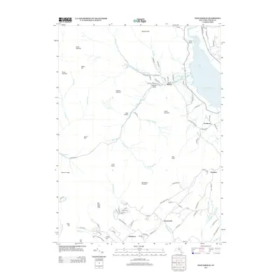
2013 Map of West Shokan
USGS Topo · Published 2013About this map
West Shokan and the northern reaches of the Ashokan Reservoir dominate the landscape in this contemporary survey of Ulster County. The map details a complex drainage network where the Bush Kill and Kanape Brook carve through high elevations like Mombaccus Mountain and Samuels Point. To the south, the terrain levels slightly into small settlements like Samsonville and Palentown, the latter of which includes the Palentown Cem. This topography shows the modern state of these Catskill foothills, where local roads such as Watson Hollow Rd and Old Route 28 follow the natural contours of valleys and hollows. Genealogists can trace family landmarks and small residential clusters at Brodhead and Winchell, while hikers and historians can identify named peaks and hollows like Mine Hollow and Friday Mountain that have defined the character of this region for generations.
Find a feature on this map
98 named features on this map. Tap any name to fly to it.
Don’t see what you’re looking for? This feature index may not catch every label — zoom into the map to look around manually.
Map Details
Editions of this 2013 West Shokan Map
This is the sole edition of this map. No revisions or reprints were ever made.
Other maps of this area

1892 · Kaaterskill
USGS Topo · 1:62,500

1893 · Kaaterskill
USGS Topo · 1:62,500

1894 · Kaaterskill
USGS Topo · 1:62,500

1899 · Kaaterskill
USGS Topo · 1:62,500

1900 · Phoenicia
USGS Topo · 1:62,500

1901 · Rosendale
USGS Topo · 1:62,500

1903 · Rosendale
USGS Topo · 1:62,500

1903 · Phoenicia
USGS Topo · 1:62,500

1903 · Kaaterskill
USGS Topo · 1:62,500

1903 · Slide Mountain
USGS Topo · 1:62,500