
Loading...
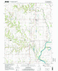
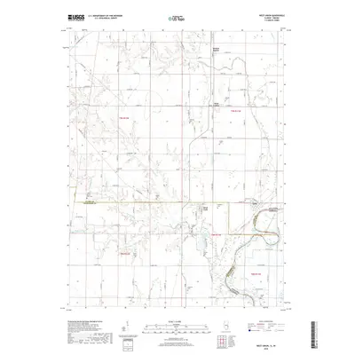
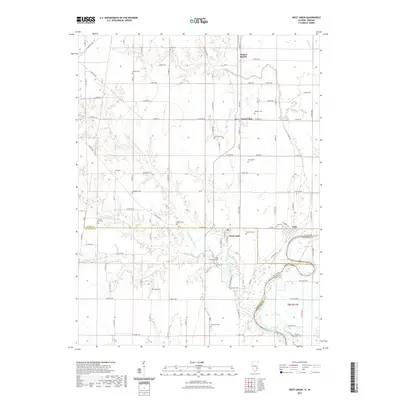
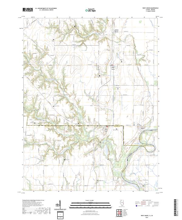
Loading map...1966 Map of West Union
USGS Topo · Published 1967About this map
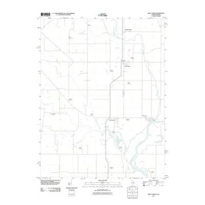
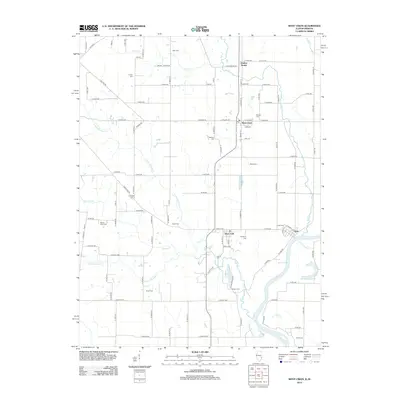
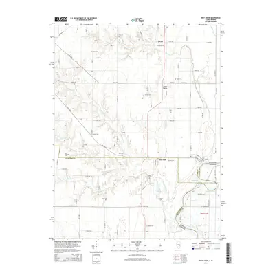
The Wabash River meanders along the eastern border of this mid-1960s survey, marking the boundary between Illinois and Indiana. The landscape is defined by the New York Central railroad corridor which connects the settlements of West Union and West York. This area of eastern Illinois exhibits a transition from the agricultural expanses of Melrose and Hutsonville to the dendritic drainage patterns of North Fork and Raccoon Creek.
Find a feature on this map
42 named features on this map. Tap any name to fly to it.
Don’t see what you’re looking for? This feature index may not catch every label — zoom into the map to look around manually.
Map Details
Date Portrayed1966
Date Published1967
PublisherU.S. Geological Survey
Map TypeTopographic
Scale1:24,000
Physical Dimensions22 x 26.8 inches
Editions of this 1966 West Union Map
This is the sole edition of this map. No revisions or reprints were ever made.
Historical Maps of York Through Time
8 maps found
Featured Locations
Source Details
SourceU.S. Geological Survey
CopyrightPublic Domain