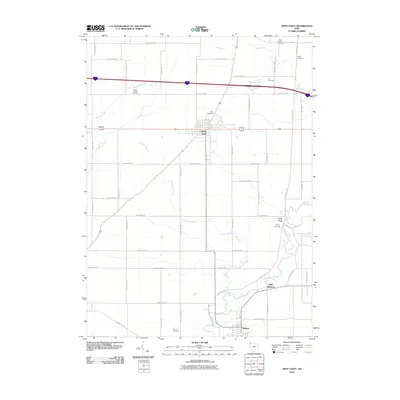
2010 Map of West Unity
USGS Topo · Published 2010About this map
West Unity serves as the central hub for this portion of Williams County, situated at a major crossroads in a landscape defined by its agricultural grid and winding waterways. The town's layout contrasts with the meandering path of the Tiffin River and Leatherwood Creek, which cut through the orderly sections of Brady Township. In the southern reaches, the settlement of Stryker sits near the river's edge, while Lock Port and Tiffin Meadows occupy the eastern banks, marking a corridor of historical development along the water.
Find a feature on this map
30 named features on this map. Tap any name to fly to it.
Don’t see what you’re looking for? This feature index may not catch every label — zoom into the map to look around manually.
Map Details
Editions of this 2010 West Unity Map
This is the sole edition of this map. No revisions or reprints were ever made.
Other maps of this area

1907 · Defiance
USGS Topo · 1:62,500

1909 · Defiance
USGS Topo · 1:62,500

1913 · Alvordton
USGS Topo · 1:62,500

1914 · Pioneer
USGS Topo · 1:62,500

1914 · Bryan
USGS Topo · 1:62,500

1943 · Bryan
USGS Topo · 1:62,500

1944 · Pioneer
USGS Topo · 1:62,500

1944 · Alvordton
USGS Topo · 1:62,500

1953 · Fort Wayne
USGS Topo · 1:250,000

1956 · Fort Wayne
USGS Topo · 1:250,000