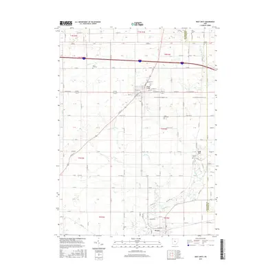
2016 Map of West Unity
USGS Topo · Published 2016About this map
West Unity serves as the central hub of this Williams County landscape, where the intersection of US Rte 127 and US Rte 20 Alt anchors the local commerce and grid. The surrounding countryside is defined by a dense network of burial grounds, suggesting a long history of rural settlement near the Williams and Fulton county line. To the south, the village of Stryker sits along the Tiffin River, which winds through the southern portion of the sheet alongside the smaller Leatherwood Cr.
Find a feature on this map
76 named features on this map. Tap any name to fly to it.
Don’t see what you’re looking for? This feature index may not catch every label — zoom into the map to look around manually.
Map Details
Editions of this 2016 West Unity Map
This is the sole edition of this map. No revisions or reprints were ever made.
Other maps of this area

1907 · Defiance
USGS Topo · 1:62,500

1909 · Defiance
USGS Topo · 1:62,500

1913 · Alvordton
USGS Topo · 1:62,500

1914 · Pioneer
USGS Topo · 1:62,500

1914 · Bryan
USGS Topo · 1:62,500

1943 · Bryan
USGS Topo · 1:62,500

1944 · Pioneer
USGS Topo · 1:62,500

1944 · Alvordton
USGS Topo · 1:62,500

1953 · Fort Wayne
USGS Topo · 1:250,000

1956 · Fort Wayne
USGS Topo · 1:250,000