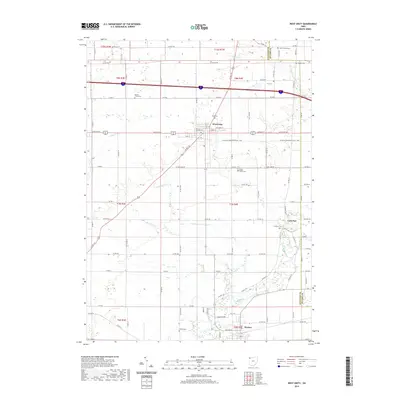
2019 Map of West Unity
USGS Topo · Published 2019About this map
West Unity and the surrounding farmland of Williams County are defined by a network of drainage creeks and small settlements in this 2019 survey. The village center is gridded by historic streets like W North St and E Church St, while the surrounding landscape is marked by numerous family and community burial grounds, including the West Franklin Cem and the Quaker Cem near the eastern boundary. This area shows a high density of rural cemeteries, such as Ely Cem, Ring Cem, and French Cem, which are vital for genealogical research in this part of Northwest Ohio.
Find a feature on this map
82 named features on this map. Tap any name to fly to it.
Don’t see what you’re looking for? This feature index may not catch every label — zoom into the map to look around manually.
Map Details
Editions of this 2019 West Unity Map
This is the sole edition of this map. No revisions or reprints were ever made.
Other maps of this area

1907 · Defiance
USGS Topo · 1:62,500

1909 · Defiance
USGS Topo · 1:62,500

1913 · Alvordton
USGS Topo · 1:62,500

1914 · Pioneer
USGS Topo · 1:62,500

1914 · Bryan
USGS Topo · 1:62,500

1943 · Bryan
USGS Topo · 1:62,500

1944 · Pioneer
USGS Topo · 1:62,500

1944 · Alvordton
USGS Topo · 1:62,500

1953 · Fort Wayne
USGS Topo · 1:250,000

1956 · Fort Wayne
USGS Topo · 1:250,000