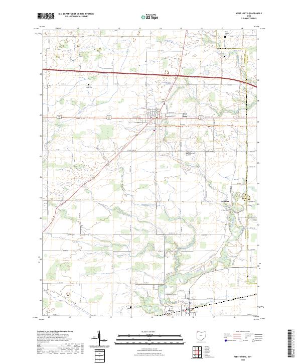
2023 Map of West Unity
USGS Topo · Published 2023About this map
The West Unity village is the primary settlement on this sheet, positioned at the intersection of several regional thoroughfares including Us Rte 127 and Us Rte 20 Alt. The landscape is defined by the winding course of the Tiffin River and its various tributaries such as Leatherwood Creek and Flat Run. To the south, the village of Stryker sits along the southern edge of the map, while the small community of Lock Port is located to the east near the Lockport Cem.
Find a feature on this map
83 named features on this map. Tap any name to fly to it.
Don’t see what you’re looking for? This feature index may not catch every label — zoom into the map to look around manually.
Map Details
Editions of this 2023 West Unity Map
This is the sole edition of this map. No revisions or reprints were ever made.
Other maps of this area

1907 · Defiance
USGS Topo · 1:62,500

1909 · Defiance
USGS Topo · 1:62,500

1913 · Alvordton
USGS Topo · 1:62,500

1914 · Pioneer
USGS Topo · 1:62,500

1914 · Bryan
USGS Topo · 1:62,500

1943 · Bryan
USGS Topo · 1:62,500

1944 · Pioneer
USGS Topo · 1:62,500

1944 · Alvordton
USGS Topo · 1:62,500

1953 · Fort Wayne
USGS Topo · 1:250,000

1956 · Fort Wayne
USGS Topo · 1:250,000