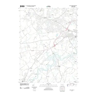
2010 Map of West York
USGS Topo · Published 2010About this map
Codorus Creek and its southern branch wind through this landscape west of York, shaping a network of suburban development and rural heritage. The map documents a cluster of established residential communities including Weigelstown, Shiloh, and West York, which are balanced by open spaces like the Grand View Golf Course. This era shows a significant infrastructure for aviation with both York Airport and Gilbert Airport serving the region.
Find a feature on this map
127 named features on this map. Tap any name to fly to it.
Don’t see what you’re looking for? This feature index may not catch every label — zoom into the map to look around manually.
Map Details
Editions of this 2010 West York Map
This is the sole edition of this map. No revisions or reprints were ever made.
Other maps of this area

1906 · New Cumberland
USGS Topo · 1:62,500

1908 · Middletown
USGS Topo · 1:62,500

1908 · York
USGS Topo · 1:62,500

1910 · York
USGS Topo · 1:62,500

1920 · Hanover
USGS Topo · 1:62,500

1922 · Hanover
USGS Topo · 1:62,500

1943 · New Cumberland
USGS Topo · 1:62,500

1943 · Middletown
USGS Topo · 1:62,500

1948 · Baltimore
USGS Topo · 1:250,000

1950 · Harrisburg
USGS Topo · 1:250,000