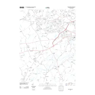
2013 Map of West York
USGS Topo · Published 2013About this map
West York and its surrounding communities in York County appear here in detail, showing a landscape defined by suburban expansion and enduring agricultural roots. The suburban clusters of Shiloh, Weigelstown, and Holly Heights radiate from the city center, while smaller traditional settlements like Stoverstown, Bair, and Thomasville anchor the western and southern reaches. Significant aviation infrastructure is present with both York Airport and Gilbert Airport serving the region.
Find a feature on this map
303 named features on this map. Tap any name to fly to it.
Don’t see what you’re looking for? This feature index may not catch every label — zoom into the map to look around manually.
Map Details
Editions of this 2013 West York Map
This is the sole edition of this map. No revisions or reprints were ever made.
Other maps of this area

1906 · New Cumberland
USGS Topo · 1:62,500

1908 · Middletown
USGS Topo · 1:62,500

1908 · York
USGS Topo · 1:62,500

1910 · York
USGS Topo · 1:62,500

1920 · Hanover
USGS Topo · 1:62,500

1922 · Hanover
USGS Topo · 1:62,500

1943 · New Cumberland
USGS Topo · 1:62,500

1943 · Middletown
USGS Topo · 1:62,500

1948 · Baltimore
USGS Topo · 1:250,000

1950 · Harrisburg
USGS Topo · 1:250,000