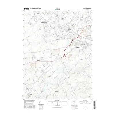
2016 Map of West York
USGS Topo · Published 2016About this map
Codorus Creek and its various branches, including the South Branch Codorus Creek, dominate the southern half of this landscape, defining the drainage patterns for numerous small communities. The suburban expansion of York and West York is evident as residential developments move westward through Shiloh and Weigelstown, though rural pockets remain near Bair and Taxville.
Find a feature on this map
285 named features on this map. Tap any name to fly to it.
Don’t see what you’re looking for? This feature index may not catch every label — zoom into the map to look around manually.
Map Details
Editions of this 2016 West York Map
This is the sole edition of this map. No revisions or reprints were ever made.
Other maps of this area

1906 · New Cumberland
USGS Topo · 1:62,500

1908 · Middletown
USGS Topo · 1:62,500

1908 · York
USGS Topo · 1:62,500

1910 · York
USGS Topo · 1:62,500

1920 · Hanover
USGS Topo · 1:62,500

1922 · Hanover
USGS Topo · 1:62,500

1943 · New Cumberland
USGS Topo · 1:62,500

1943 · Middletown
USGS Topo · 1:62,500

1948 · Baltimore
USGS Topo · 1:250,000

1950 · Harrisburg
USGS Topo · 1:250,000