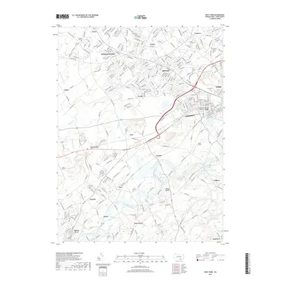
2019 Map of West York
USGS Topo · Published 2019About this map
Codorus Creek and its many branches, including the South Branch Codorus Creek, wind through this landscape just west of the city center. The map reveals the dense residential expansion of York into surrounding communities like West York, Shiloh, and Weigelstown. For local historians, the sheet is particularly valuable for its density of burial grounds, ranging from the Wolf (Loucks) Cem near the commercial corridors to the more rural Strayers Cem and Wolf Church Cem.
Find a feature on this map
273 named features on this map. Tap any name to fly to it.
Don’t see what you’re looking for? This feature index may not catch every label — zoom into the map to look around manually.
Map Details
Editions of this 2019 West York Map
This is the sole edition of this map. No revisions or reprints were ever made.
Other maps of this area

1906 · New Cumberland
USGS Topo · 1:62,500

1908 · Middletown
USGS Topo · 1:62,500

1908 · York
USGS Topo · 1:62,500

1910 · York
USGS Topo · 1:62,500

1920 · Hanover
USGS Topo · 1:62,500

1922 · Hanover
USGS Topo · 1:62,500

1943 · New Cumberland
USGS Topo · 1:62,500

1943 · Middletown
USGS Topo · 1:62,500

1948 · Baltimore
USGS Topo · 1:250,000

1950 · Harrisburg
USGS Topo · 1:250,000