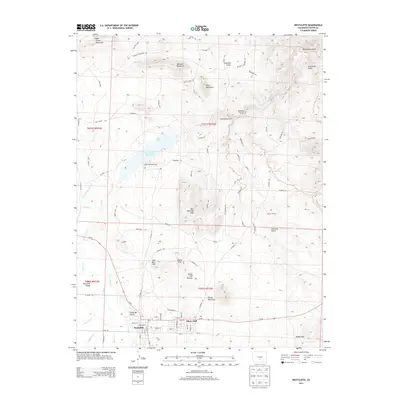
2013 Map of Westcliffe
USGS Topo · Published 2013About this map
Silver Cliff and neighboring Westcliffe sit at the center of this high-altitude landscape, illustrating the proximity of these twin municipalities. The terrain transitions from the developed grid of the towns into the prominent Silver Cliff Plateau and the heights of Round Mountain. To the north, the Deweese-Dye Reservoir and Lake DeWeese Lodge mark a hub of water management and recreation, where Grape Creek flows through the valley.
Find a feature on this map
99 named features on this map. Tap any name to fly to it.
Don’t see what you’re looking for? This feature index may not catch every label — zoom into the map to look around manually.
Map Details
Editions of this 2013 Westcliffe Map
This is the sole edition of this map. No revisions or reprints were ever made.
Other maps of this area

1889 · Canon City
USGS Topo · 1:125,000

1892 · Canon City
USGS Topo · 1:125,000

1954 · Mount Tyndall
USGS Topo · 1:24,000

1954 · Rosita
USGS Topo · 1:24,000

1954 · Pueblo
USGS Topo · 1:250,000

1955 · Westcliffe
USGS Topo · 1:24,000

1957 · Pueblo
USGS Topo · 1:250,000

1957 · Aldrich Gulch
USGS Topo · 1:24,000

1958 · Pueblo
USGS Topo · 1:250,000

1958 · Beckwith Mountain
USGS Topo · 1:24,000