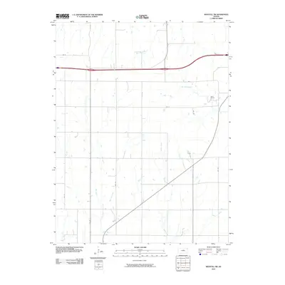
2010 Map of Westfall SW
USGS Topo · Published 2010About this map
Oak Creek and Spring Creek define the drainage patterns of this rural Ellsworth County landscape, where the prairie is carved by numerous seasonal and perennial waterways. The map highlights the agricultural grid system of the central Kansas plains, organized by numbered roads like 14th Rd and 20th Rd. These corridors follow the section lines of the Public Land Survey System, illustrating how modern transportation networks have been superimposed over the natural hydrology of the Smoky Hills region. In the northern reaches, the forks of West Elkhorn Creek and East Elkhorn Creek converge, while the southern portion is marked by the winding courses of East Spring Creek and Bens Branch. This survey provides a clear look at the intersection of land management and natural geography in a sparsely populated ranching and farming area.
Find a feature on this map
17 named features on this map. Tap any name to fly to it.
Don’t see what you’re looking for? This feature index may not catch every label — zoom into the map to look around manually.
Map Details
Editions of this 2010 Westfall SW Map
This is the sole edition of this map. No revisions or reprints were ever made.
Other maps of this area

1894 · Ellsworth
USGS Topo · 1:125,000

1955 · Great Bend
USGS Topo · 1:250,000

1957 · Great Bend
USGS Topo · 1:250,000

1957 · Ellsworth
USGS Topo · 1:24,000

1957 · Westfall SW
USGS Topo · 1:24,000

1957 · Westfall SE
USGS Topo · 1:24,000
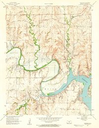
1957 · Carneiro
USGS Topo · 1:24,000

1957 · Holyrood NE
USGS Topo · 1:24,000

1957 · Black Wolf
USGS Topo · 1:24,000

1958 · Great Bend
USGS Topo · 1:250,000