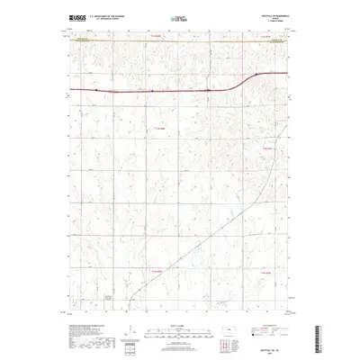
2018 Map of Westfall SW
USGS Topo · Published 2018About this map
Ellsworth Municipal Airport occupies the southwestern corner of this survey, marking a pocket of modern development in an otherwise deeply dissected drainage landscape on the border of Lincoln and Ellsworth counties. The terrain is defined by an intricate network of waterways, including W Elkhorn Cr and E Elkhorn Cr, which have carved numerous draws and ridges across the township blocks. A rigid grid of rural roads, such as 17th Rd and Ave D, provides access through the countryside, where the topography shifts between elevated plains and the valleys of Oak Cr and Spring Cr. This environment illustrates the 21st-century agricultural and transit patterns of Central Kansas, where the natural flow of creeks like W Oak Cr and Clear Cr dictates the utility and layout of the land around the county line.
Find a feature on this map
32 named features on this map. Tap any name to fly to it.
Don’t see what you’re looking for? This feature index may not catch every label — zoom into the map to look around manually.
Map Details
Editions of this 2018 Westfall SW Map
This is the sole edition of this map. No revisions or reprints were ever made.
Other maps of this area

1894 · Ellsworth
USGS Topo · 1:125,000

1955 · Great Bend
USGS Topo · 1:250,000

1957 · Great Bend
USGS Topo · 1:250,000

1957 · Ellsworth
USGS Topo · 1:24,000

1957 · Westfall SW
USGS Topo · 1:24,000

1957 · Westfall SE
USGS Topo · 1:24,000
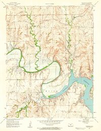
1957 · Carneiro
USGS Topo · 1:24,000

1957 · Holyrood NE
USGS Topo · 1:24,000

1957 · Black Wolf
USGS Topo · 1:24,000

1958 · Great Bend
USGS Topo · 1:250,000