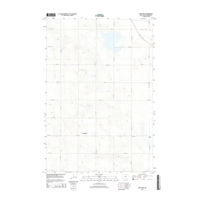
2014 Map of Westfield
USGS Topo · Published 2014About this map
Westfield and the nearby settlement of Hull anchor this portion of Emmons County, reflecting the agricultural grid of the North Dakota plains. The map reveals a landscape organized by a precise network of section roads, including 96th St SE and 11th Ave SE, which connect dispersed farmsteads and rural infrastructure. Local history is grounded at the Hull Cem, while the natural topography is defined by the winding course of Decker Cr as it traverses the undulating terrain. This 2014 survey documents the enduring settlement patterns and land use in a region where small unincorporated communities continue to serve as centers for the surrounding farming community.
Find a feature on this map
18 named features on this map. Tap any name to fly to it.
Don’t see what you’re looking for? This feature index may not catch every label — zoom into the map to look around manually.
Map Details
Editions of this 2014 Westfield Map
This is the sole edition of this map. No revisions or reprints were ever made.
Other maps of this area

1953 · McIntosh
USGS Topo · 1:250,000

1954 · Bismarck
USGS Topo · 1:250,000

1958 · Bismarck
USGS Topo · 1:250,000

1958 · McIntosh
USGS Topo · 1:250,000

1965 · Herreid NW
USGS Topo · 1:24,000

1965 · Herreid NE
USGS Topo · 1:24,000

1965 · Pollock
USGS Topo · 1:24,000
1971 · Grassna
USGS Topo · 1:24,000

1971 · Grassna NE
USGS Topo · 1:24,000

1971 · Strasburg
USGS Topo · 1:24,000