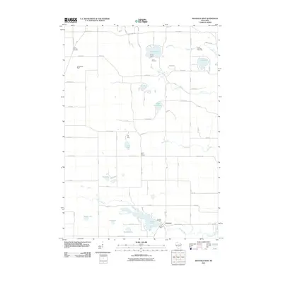
2010 Map of Westfield West
USGS Topo · Published 2010About this map
Lawrence sits at the southern edge of this landscape, centered on the Lawrence Dam and the waters of Lawrence Lake. This 2010 survey illustrates a region defined by a high density of small glacial lakes and recreational spaces, such as Pine Lake Camp and Camp Firewood near Pleasant Lake. The terrain rises to the west at Horseshoe Bluff, while the northeast is dominated by the Chaffee Creek State Fishery Area. Several family and community landmarks are scattered throughout the rural grid, including South Burr Oak Cemetery, Pleasant View Cemetery, and Riverside Cemetery. The drainage pattern is complex, with Westfield Creek, Chaffee Creek, and Lawrence Creek winding through the lowlands, reflecting the area's history as a hub for local fishing and outdoor seasonal residency.
Find a feature on this map
72 named features on this map. Tap any name to fly to it.
Don’t see what you’re looking for? This feature index may not catch every label — zoom into the map to look around manually.
Map Details
Editions of this 2010 Westfield West Map
This is the sole edition of this map. No revisions or reprints were ever made.
Other maps of this area

1955 · Green Bay
USGS Topo · 1:250,000

1957 · Madison
USGS Topo · 1:250,000

1958 · Coloma
USGS Topo · 1:48,000

1959 · Wautoma
USGS Topo · 1:48,000

1960 · Madison
USGS Topo · 1:250,000

1961 · Oxford
USGS Topo · 1:62,500

1961 · Montello
USGS Topo · 1:62,500

1968 · Coloma SW
USGS Topo · 1:24,000

1968 · Coloma
USGS Topo · 1:24,000

1968 · Richford
USGS Topo · 1:24,000