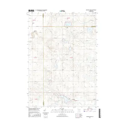
2016 Map of Westfield West
USGS Topo · Published 2016About this map
The settlement of Lawrence and the western edge of Westfield anchor this 2016 survey at the junction of Adams, Waushara, and Marquette Counties. The landscape is defined by a dense cluster of glacial kettle lakes and winding waterways, most notably Lawrence Lake and Pleasant Lake. Cultural history is preserved at South Burr Oak Cem, Pleasant View Cem, and Riverside Cem, while the local topography rises sharply at Horseshoe Bluff and Sunset Point. The distribution of these features suggests a region where early rural infrastructure was dictated by the complex hydrography of Westfield Cr, Chaffee Cr, and Caves Cr. Smaller water bodies like Lake Burnita and School Section Lake are interspersed with a network of local routes such as Dakota Ave and Co Rd G, illustrating the modern development patterns around these long-established natural landmarks.
Find a feature on this map
76 named features on this map. Tap any name to fly to it.
Don’t see what you’re looking for? This feature index may not catch every label — zoom into the map to look around manually.
Map Details
Editions of this 2016 Westfield West Map
This is the sole edition of this map. No revisions or reprints were ever made.
Other maps of this area

1955 · Green Bay
USGS Topo · 1:250,000

1957 · Madison
USGS Topo · 1:250,000

1958 · Coloma
USGS Topo · 1:48,000

1959 · Wautoma
USGS Topo · 1:48,000

1960 · Madison
USGS Topo · 1:250,000

1961 · Oxford
USGS Topo · 1:62,500

1961 · Montello
USGS Topo · 1:62,500

1968 · Coloma SW
USGS Topo · 1:24,000

1968 · Coloma
USGS Topo · 1:24,000

1968 · Richford
USGS Topo · 1:24,000