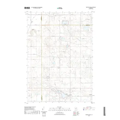
2018 Map of Westfield West
USGS Topo · Published 2018About this map
Lawrence sits at the southern end of this landscape, a settlement defined by its position between Lawrence Lake and Westfield Creek. The area is marked by a complex network of glacial kettle lakes and wetlands, including Pleasant Lake, School Section Lake, and Wood Lake. These water bodies, along with the meandering courses of Chaffee Creek and Taggatz Creek, dictate the local geography and road patterns.
Find a feature on this map
45 named features on this map. Tap any name to fly to it.
Don’t see what you’re looking for? This feature index may not catch every label — zoom into the map to look around manually.
Map Details
Editions of this 2018 Westfield West Map
This is the sole edition of this map. No revisions or reprints were ever made.
Other maps of this area

1955 · Green Bay
USGS Topo · 1:250,000

1957 · Madison
USGS Topo · 1:250,000

1958 · Coloma
USGS Topo · 1:48,000

1959 · Wautoma
USGS Topo · 1:48,000

1960 · Madison
USGS Topo · 1:250,000

1961 · Oxford
USGS Topo · 1:62,500

1961 · Montello
USGS Topo · 1:62,500

1968 · Coloma SW
USGS Topo · 1:24,000

1968 · Coloma
USGS Topo · 1:24,000

1968 · Richford
USGS Topo · 1:24,000